|
BTP
3.0
Routing/ClimbAnalysis/PowerCalculation
|
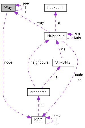
container for line geodata More...
#include <DataTyps.h>
Public Attributes | |
| qint64 | id |
| OSM way id | |
| int | nodec |
| count of KOO | |
| KOO ** | node |
| array KOO pointers | |
| float | minlat |
| float | minlon |
| float | maxlat |
| float | maxlon |
| bounding rect, for rendering | |
| Way * | l |
| Way * | r |
| Way * | prev |
| AVL tree struct. | |
| short | balance |
| AVL tree balance. | |
| char | type |
| classification | |
| char * | name |
| name ref owned by lines | |
container for line geodata
A way container contains a KOO array which can be drawn on the map. Furthermore the data is neccesary to vreate Neighbour relations in the class WayHeight. The type attribute holds the function of the way:
type=-2 relationmember unused
type=-1 raw data to be classified
type= 0 Motorway
type= 1 Highway
type= 2 primary
type= 3 secondary
type= 4 track type= 5 track2 (small track, unpaved)
type= 6 wood (forrest)
type= 7 water
type= 8 river
type= 8 creek type=98 unuesed raw data to be ignored if saved
type=99 not all KOO of this Way are properly linked
Definition at line 122 of file DataTyps.h.
 1.8.5
1.8.5

