Climbmaps
This is a collection of maps created before BTP3 was finished. They are especially suited for offline usage and for printing a cool map.
Climbmap 2.3
Bergkarte 2.3Erzgebirge, Elbsandstein, Lausitzer Gebirge, Jeschken, Riesengebirge
Krušné hory, Labské pískovce, Lužické hory, hřeben, Krkonoše | 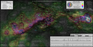 |
This map was manually created in the years before 2011 with data collected from Top50 maps,
cykloserver.cz and my own recordings with cyklomaster HAC4. My bike community from cielab.org helped me finding as mush climbs as possible. This map might be most appealing for most people, although from my point of view it lacks completeness and STRONG information. Currently there is no more update planed.
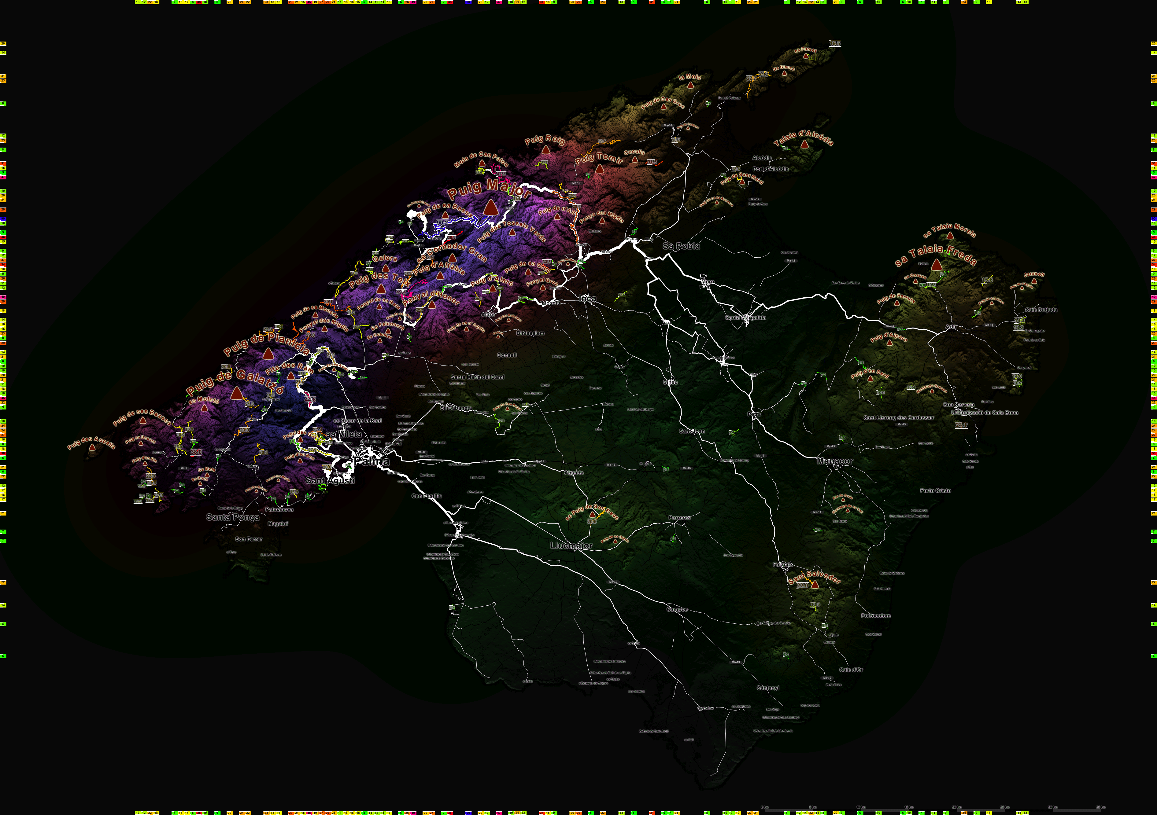
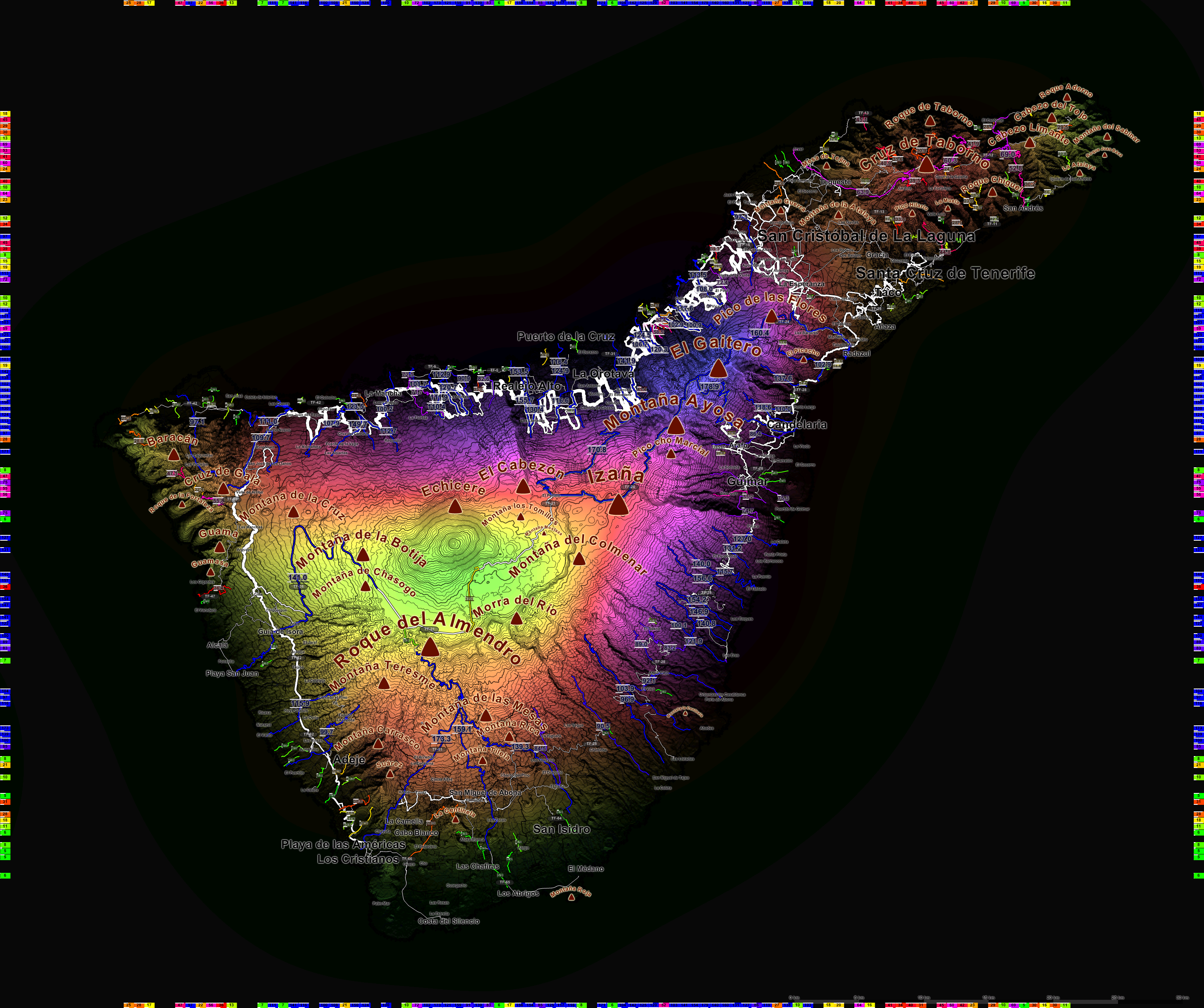
Climbmap collection 2013
This collection of automatically generated climb maps was done with BTP2 in 2013. It shows all climbs with its difficulty, steepness (upper bar) and
serpentine/km² value. At the border of the map the most difficult climbs are projected, making easy finding of challenging climbs possible. The difficulty of the region is approximated by convolution of climbdata with a Peak function leading to a background color proportional to:
\[ \sqrt{\sum_i{\frac{S_i}{1+(d_i/8~km)^6}}} \]
The streets are painted according to the
STRONG layer.
| Rheinisches Schiefergebirge, Ardennen |  |
| Bayerischer Wald | 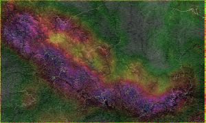 |
| Gran Canaria | 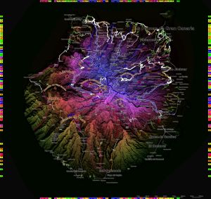 |
| Harz | 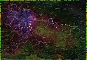 |
| Korsika | 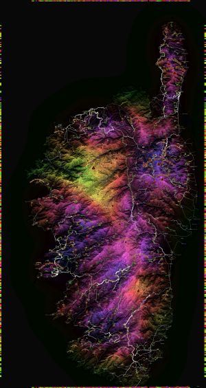 |
| Mallorca | 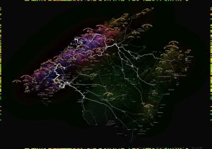 |
| Massif Central est | 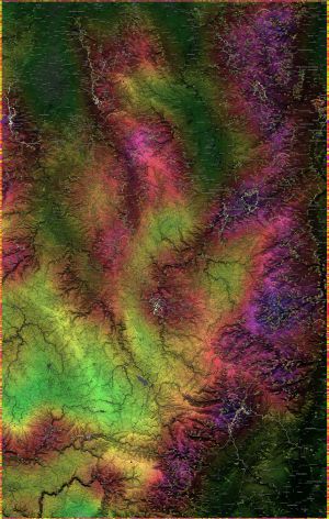 |
| Massif Central ouest | 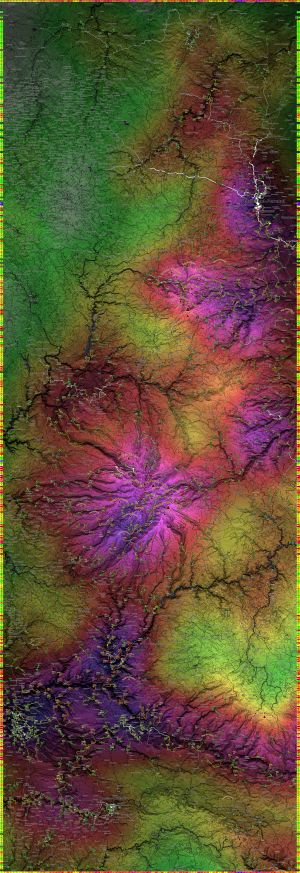 |
| Rhoen, Thüringer Wald | 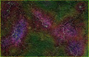 |
| Schwarzwald | 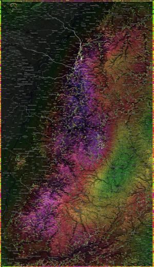 |
| Slovensko východ | 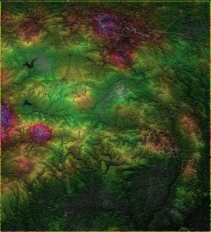 |
| Slovensko západ | 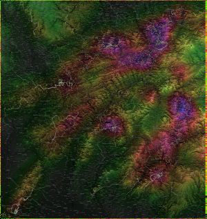 |
| Orlické Hory, Jeseniky, Góry Sowie | 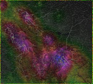 |
Erzgebirge, Elbsandstein, Lausitzer Gebirge, Jeschken, Riesengebirge
Krušné hory, Labské pískovce, Lužické hory, hřeben, Krkonoše | 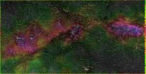 |
| Tenerife |  |
| Vosges | 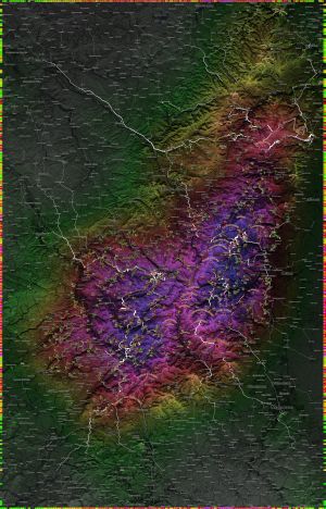 |